Last Updated on 10th October 2025
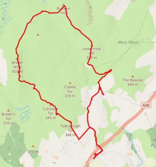
Bodmin Moor is a rugged and wide open space of grasslands and heather with granite tors and boulders strewn atop hills. It is fabled in mystery and mystique with legends of The Beast and sorcery. This and more make it a great place for exploring and hiking. This article describes a circular moorland walk, starting and ending at the Jamaica Inn. Set on North Bodmin Moor, it takes in a mix of seven tors and hills.

Over the years, I have walked Bodmin Moor numerous times. I have my favourite spots, but I also like the challenge of the wilderness. North Bodmin Moor, which is to the north of the A30, fulfils me with something much more challenging than visiting my usual spots or, even, coastal walks.
Here is the GPX file that I prepared for this hike. It’s just over 11 miles and you should allow 6 daylight hours to include rest breaks. It contains my unedited wanderings, so beware.
If you want to know more about GPX files and how to use them, read my article, Top Tips: Mapping & GPS for Hiking.
Safety First
This hike is challenging, and that doesn’t just mean it’s a tough walk. It requires up-front safety and skills to ensure that, should anything go wrong, you are equipped and knowledgeable to deal with it. I often walk alone, so it is even more imperative that the lone walker carries all that might be needed. That includes a map of the walking area, a compass, the skills to use these and appropriate footwear and clothing. Then there is first aid, waterproofs, extra clothing, water, food, the list goes on.
Read my article, even if you are not new to hiking, A Beginner’s Guide to Hiking and Walks.
Bolventor
The Jamaica Inn is located at Bolventor on the A30. Daphne Du Maurier fans will instantly know of this Inn, but unlike the fictional story, The Jamaica Inn is real. It’s a hotel, restaurant and bar, but it also has a visitor centre and museum. So, something to think about as you stomp the moorlands. There’s nothing else around these parts for food and refreshments. If you fancy staying here to soak up the atmosphere of this area, it’s listed in this collection of hotels and holiday properties on Bodmin Moor. Get the book to read by a cosy log fire – The Jamaica Inn.
I parked along the road in Bolventor on the south of the A30. It seems a little cheeky to leave the car in the Inn’s car park all day while out enjoying Bodmin Moor.
Cairns, Cists and Settlements
Through this article, I’ll mention cairns, cists and settlements that are quite prominent all over north Bodmin Moor. I have linked to documents where I can find anything. However, this article is a comprehensive insight into Bodmin Moor’s cairns, cists and settlements.
Bolventor to Tolborough and Catshole Tors
From Bolventor, walk east down the road to turn left and under the A30. Keep to the right of the slip road and head out on the north road. After about a quarter of a mile, take the left lane leading to Tober Barton farm. This links up with a bridleway heading NNW. It splits the fields for a short distance before opening out on the moor.
There are other ways of getting here from behind the Jamaica Inn according to the OS maps. Walking alone, I try to avoid situations where some people might well wonder, ‘what’s he up to?’ I tend to stick to non-confrontational, obvious pathways where possible.
The route starts to ascend Tolborough Tor. It’s not the highest, but it certainly has good views of the Jamaica Inn and what lies in front.
From Tolborough Tor, walk NW down the slopes. Head for the corner of the boundary wall and a gate. Cross over the gate. Now head SW for just 100m, if that, to pick up another gate that opens out onto the moor.
Walk north up to Catshole Tor on the open moor. Near the top walk NW once more to reach the Tor and cairn. This is a boat-shaped cairn or quoit with a headstone at its stern. It’s easily missed, as you can tell on this page about the Catshole Tor Quoit.
Continue walking, zigzagging down the slope. The route passes by a settlement at Catshole Downs. You’ll need to hunt around to see the settlement, as it is very low down amongst the rocky terrain.
Catshole Tor to Brown Willy
From the settlement continue and try to keep to a NNW direction. It gets very boggy to the west of here. Clear the marshes and reach a fence. If you are using my GPX file, you will see that I scouted this area to try and get over the fence. I continued along the fence line until I found a place to cross.
Now, farmers, if you are reading this, there is nothing more infuriating than you guys erecting fences and not bothering to put up a sign or two advising walkers where they can cross over. There is a right to roam from the Open Access rules imposed on Bodmin Moor in 2000. Walkers do not want to damage farmland fences. With no visible way of crossing, we look to the safest point in the hope we won’t get ripped to shreds by barbed wire. Rant over!
There may be a better place to cross further on again, but from what I could see, the fencing goes on for quite a way. From my GPX file, I was originally heading for what looked like a break in the fence with just a wall to go over (they are usually low). At that point, the ground is still marshy and there didn’t appear to be an opening. So I walked NNE along the fence to find a safer place to cross. If you are on your own, like I was, be very careful. Damaging yourself out here in the wilds is not good.
I read up on this and there may be a style about a mile further on up along the fence. Because of the marsh, you would need to carefully walk on the top of the low wall. For me, this would be too far north of where I needed to be.
Brown Willy
Cross the fence (somehow) to walk up onto Brownwilly Downs. Continue on up to reach the southern part of the hill’s ridge that runs north and on to Brown Willy, the highest point of Cornwall.
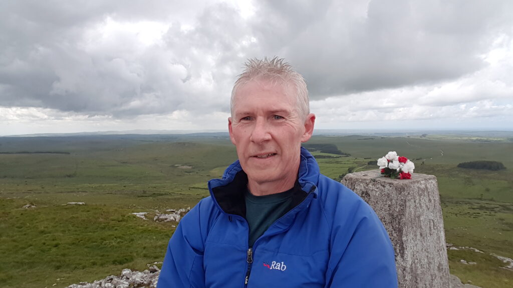
I’ve been up here many times over the years, approaching also from Rough Tor. During the autumn and winter months, it can be very peaceful and tranquil up here. I like to hunker down in the shelter of granite rocks to enjoy a coffee break and a snack. Oh, and don’t forget a selfie.

Brown Willy to Maiden Tor and Buttern Hill
After admiring the views from Brown Willy, continue walking to the northern slopes and down the hill. At around the 342-metre contour line on OS maps the route takes a NNE direction in line with a wall on the left. It emerges at roughly the same level as Maiden Tor that can be seen over to the NW. The route then crosses a wall onto High Moor.
The course takes a fairly straight line up and over an unnamed hill (on OS maps), although it’s more of a slope when rising just 12 metres from here.
Source of the River Fowey
Try not to veer any further east to keep off of the upland marshes at the source of the River Fowey.
The River Fowey, although just 27 miles in length, is a significant river in Cornwall. It flows into Siblyback Lake, and then on down to Golitha Falls and further down and along the A38 (Trago Mills is a great spot to enjoy a snack on its banks). It then flows through Lostwithiel (see another of my walks – Train and Walk – Bodmin Parkway to Lostwithiel) before winding its way out through Fowey and Polruan, and out to the coast.
I’ve enjoyed days out on all of the above locations many times over the years so, for me, the source of this river is quite sacred and special.
On to Buttern Hill
The route clears the marshes and river source at about 298 metres.
Buttern Hill is a special site of archaeological importance. There is a bronze-age cemetery and cist at the top, well worth taking a moment to investigate.
The village, Bowthick, can be seen, looking NNE from the Hill.
Buttern Hill to Leskernick Hill
The route from Buttern Hill takes a SSE direction down to 310 metres, and then SE to cross a cutting or visible earthworks. Continue on up to Leskernick Hill.
The southern side of Leskernick Hill was once an ancient settlement. Remains of the foundations of huts can be seen as the route heads out to the southern outcrop.
Continue south, down to Leskernick, and then head SE to link up to a path. Continue NE for a short while up the path to view the remains of a stone circle on the left.
It was on this stretch of the walk that a herd of wild ponies came galloping out from nowhere. Luckily I had my camera at the ready. I particularly liked the two pictured below with the foal.
Leskernick Hill to Blackhill and Bolventor
Do an about-turn on the path from Leskernick Hill. The direction is SW and, after a short while, it turns to SSE.
The path splits. I initially took the left path to try and see the OS marked disused shafts, but time was moving on, as usual, so I got myself onto the correct path. It heads south then SW, and south again to cross a ford over the River Fowey.
The path continues southerly to pass between Coda Ford and Blackhill, and along Blackhill Down.
Passing North Tolborough, and now a lane, it links up to the point where we turned off at the start of the walk. Carry straight on to retrace our outbound steps, back to Bolventor.
Time for Refreshments
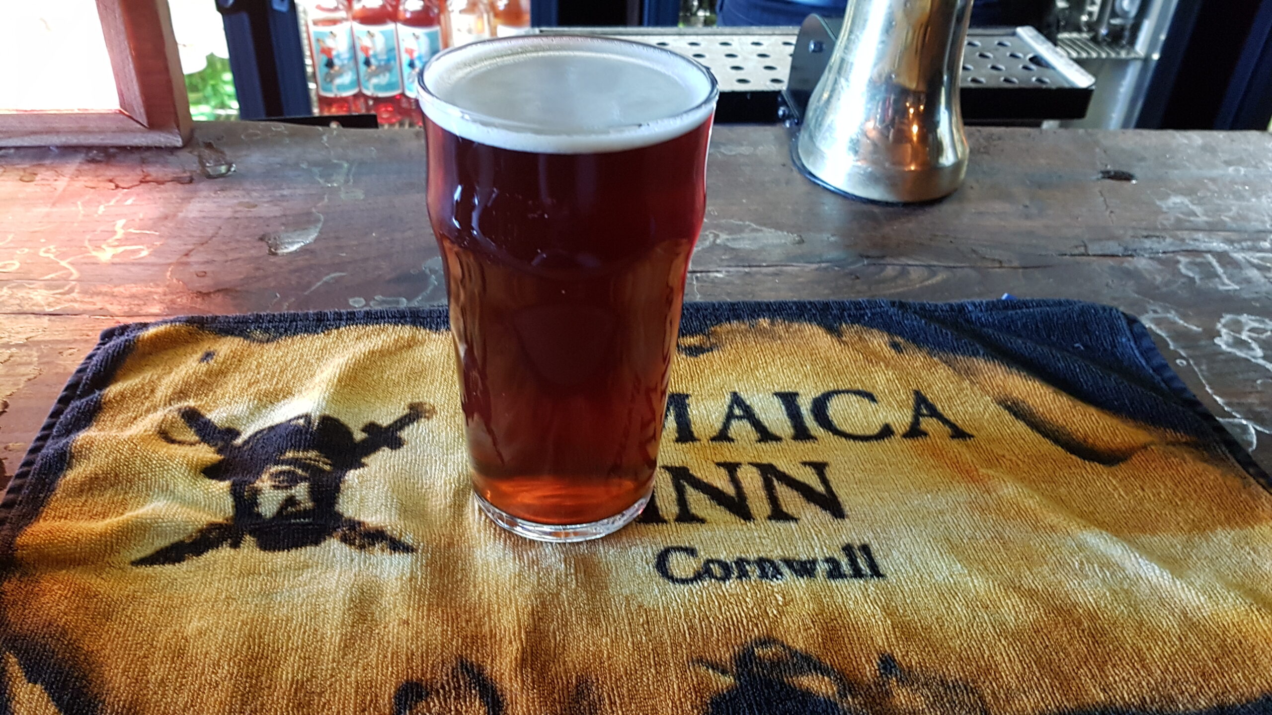
I walked back to the car to remove my muddy over-clothing and boots, and then back to the Jamaica Inn. The food from the restaurant smelt and looked wonderful, but I had something waiting at home. So I settled for a well-deserved pint and a packet of crisps. It rounded off a great day’s walking for me.

I hope this captures your imagination to get out onto Bodmin Moor and investigate its tors and hills. You don’t have to do the entire route. It’s often great to take the Moor in bite-sized chunks to get to know the terrain and how it works.
I have used iWalk Cornwall’s planned walks many times and recommend their Bodmin Moor walks. They provide a dedicated mapping app that you follow after purchasing a walk for less than the price of a pint. On your way around, the app tracks you and pops up directions and local history and sight-seeing snippets.
If you fancy staying in this area for a holiday or a short break, as well as the Jamaica Inn, here is a list of holiday properties, including hotels, B&Bs and rentals on or around Bodmin Moor.
Comment below with your Bodmin Moor experiences.
