Last Updated on 19th October 2023
I’ve visited Carnewas, Bedruthan Steps, and the coast in the area several times for short walks. I decided to take in the stretch of coastline north to Porthcothan and south to Watergate Bay. It’s a figure of eight circular walk from Bedruthan to Porthcothan and back to Mawgan Porth and Watergate Bay.
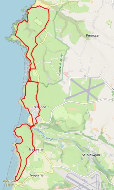
The whole walk is approximately 12 miles but could be split into two or three shorter circular walks, as can be seen on the route map.
Here is the GPX file to download and use in a mapping application. Beware, it’s my walked route so likely has me wondering off-course here and there.
If you would like more information on how to use GPX files, see my article: Top Tips: Mapping & GPS for Hiking
For me, the weather was somewhat murky on this early September day. Nonetheless, the scenery is spectacular and well worth the effort.
Carnewas and Bedruthan Steps
The National Trust car park at Carnewas has a tea room, shop and toilets. It’s free parking for NT members and reasonably priced for non-members. It can get busy here in the summer months, so arrive early – before 10am – if possible. There is another car park further up the coast at Pendarves Point.
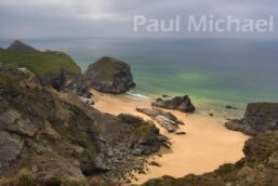
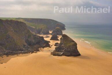
Head out to the SW Coast Path via the track by the toilets. There are a few tracks here that crisscross but head northwards. Once on the SW Coast Path, it’s not long before the beach of Whitestone Cove and Bedruthan comes into view. The huge rock on the left at that point is Carenwas Island. The views from here and further on along the coast path are truly stunning.
It is one of the most photographed areas of Cornwall. You’ll see why. The thing is, as a budding photographer, it’s very difficult to capture what I actually see in the resulting photo. Regardless of the weather, I can never get the colours quite right. The pictures may sell this coastline, but a visit will see and experience it – forever in memory.
As you can imagine, there are lots of pictures, books and memorabilia for Carnewas, Bedruthan Steps and North Cornwall. Maybe something to cherish after a visit.
Bedruthan to Porthcothan
I chose to stick on the coast path all the way to Porthcothan and then head inland in a clockwise direction. To do this section in an anti-clockwise direction, head inland at Pendarves Point, and north along the coast road.
The huge rock masses seen off the cliffs are named islands – Pendarves, Redcove, Samaritan and Diggory’s at the north end. Walk on to Pentire Point and then to Mackeral Cove. There is a route out to Park Head, but I chose to continue on the NW path. Time can run away on longer walks, so it’s best to stick to the planned route.
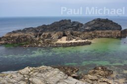
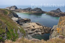
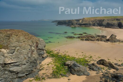
Just over the Park Head land mass, the path heads NNE and then zig-zags to Porth Mear. On my visit, there were some divers making their way out over the seaweed-covered rocks to the water beyond. I walked on a bit further and realised the attraction of diving in the area. It’s very surreal with the turquoise waters and white sands at the base of the rock masses in the water. These are known as Trescore Islands. The path rises up to get better views before rounding Porthcothan Bay.
Porthcothan is popular with beach lovers and surfers. Like many coves on the Cornish coast, its history is of a smuggler’s cove. There is a car park (pay & display) and the coast path goes past Porthcothan Bay Stores, It’s a nice spot for a tea or coffee break and a snack.
Porthcothan to Bedruthan
The route is up the B3276 road from Porthcothan, heading south. In the summer the road can get busy, and visibility can be poor in the winter. It pays to get yourself seen with some bright clothing.
The road passes Trevethan before heading SSW. At Trevemedar, pick up the public footpath to Pentire Farm. There is a lane from here that heads back onto the road to head SW for a while, and then SSE. Follow the road to the public footpath, west, to Pendarves Point. After a short distance, there is a gate to join the coast path once more.
At this point, there were grazing cows on my visit. They weren’t a problem, but to get around them at a safe distance would have taken me too close to the cliff edge. So I decided to wait it out over a coffee from my flask.
Walker tip: cows are peaceful, but can be clumsy. If they are with calves, they can turn aggressive. So give them a wide birth, whatever the situation. I have found that walking with my head down tends to keep cows (and sheep) quite calm. I can’t say if there is any scientific proof of this but, hey, it works for me.
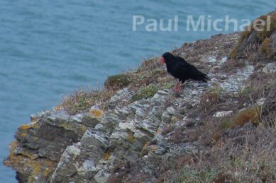
There is a rocky outcrop at this point and, as I was hanging around for cows to move, I saw some black crow-looking birds flying around. They flew and acted a little differently, though. So, off I went to inspect. I was delighted to get my first close-up sighting of Cornish Choughs.
The cows moved on and my way was clear On with the walk, south, along the coast path to arrive back in the Carnewas car park. The tea room here does a good selection of meals, snacks, and hot and cold drinks. There are tables inside and outside, so a great place for a spot of lunch. That’s what I did, but there’s also plenty of space around to sit and enjoy a packed lunch.
Bedruthan to Mawgan Porth
I decided to keep to the coast and do the southern section in an anti-clockwise direction. The path passes by Carnewas Island once more. Then by Treratchick Point and Trenance Point on the way to Mawgan Porth.
Mawgan Porth and the village of St Mawgan is a beautiful slice of Cornwall. The beach is amazing and there are caravan parks, guest houses and hotels for a great holiday or break. It’s a popular destination all year round, although busy in the summer. Take a look at this list of holiday properties in the Mawgan Porth area.
This is the second loop of the entire route, allowing this section, and the next, to be walked separately. Perhaps take up these shorter walks if holidaying locally.
Mawgan Porth to Watergate Bay
Heading south from the beach at Mawgan Porth, the coast path rises sharply to Grange Point. Then eastwards to Berryl’s Point, and around and high up over Beacon Cove. This is marked as the Bre-Pen headland on the coast path.
As the path curves around Beacon Cove, try and look down to the beach to spot seals and sea birds. It is not a very accessible beach, so the local wildlife is quite happy here.
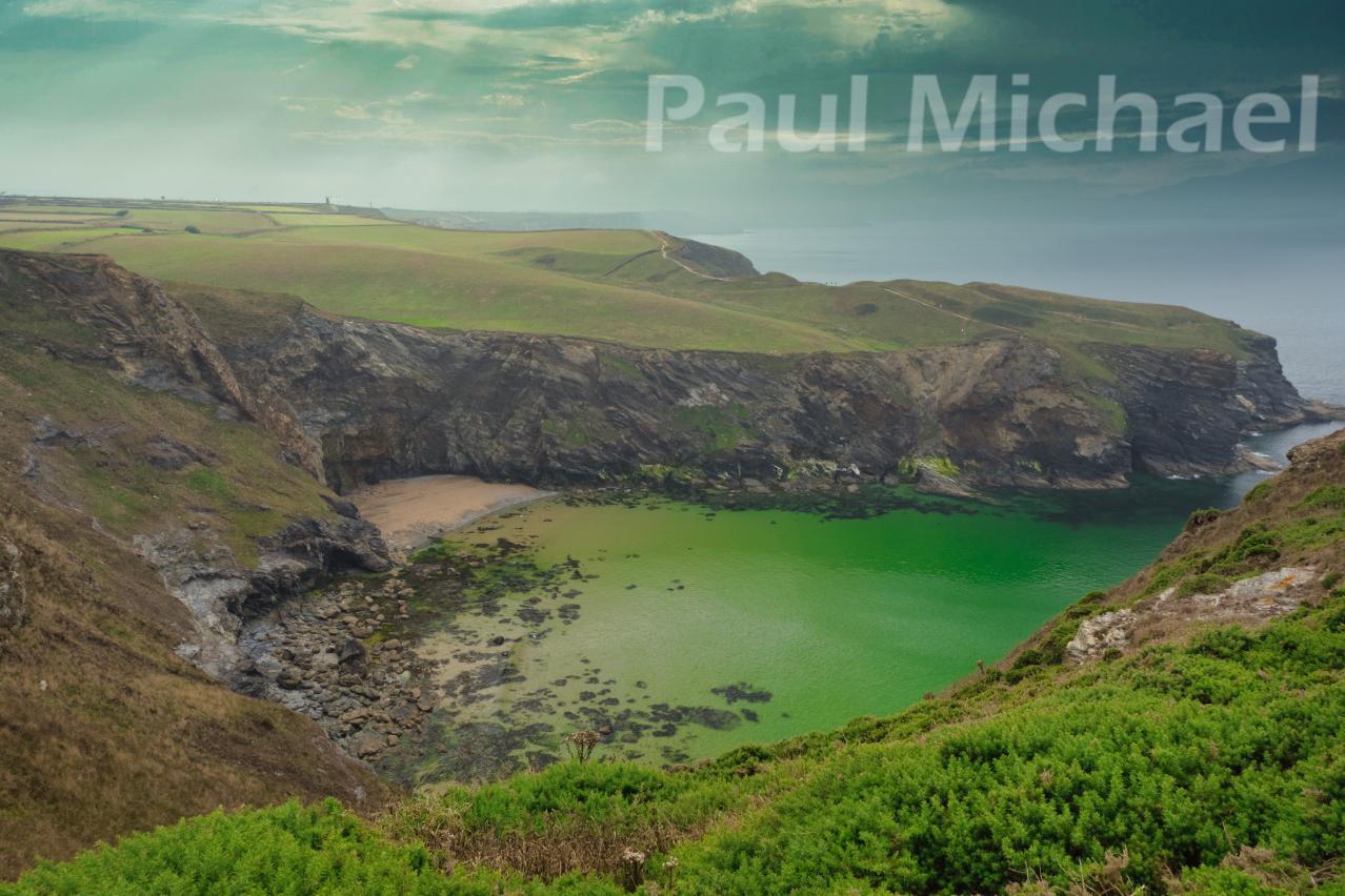
The lighting conditions have a dramatic effect on the water colours. On my visit, I saw this beautiful emerald green. On other visits to this area, I’ve seen blue and turquoise.
The path heads out to Griffin’s Point, which overlooks Stem Point beach to the south. Ordnance Survey marks a fort at this location. I didn’t spot it on my visit, but I guess there are buried archaeological remains.
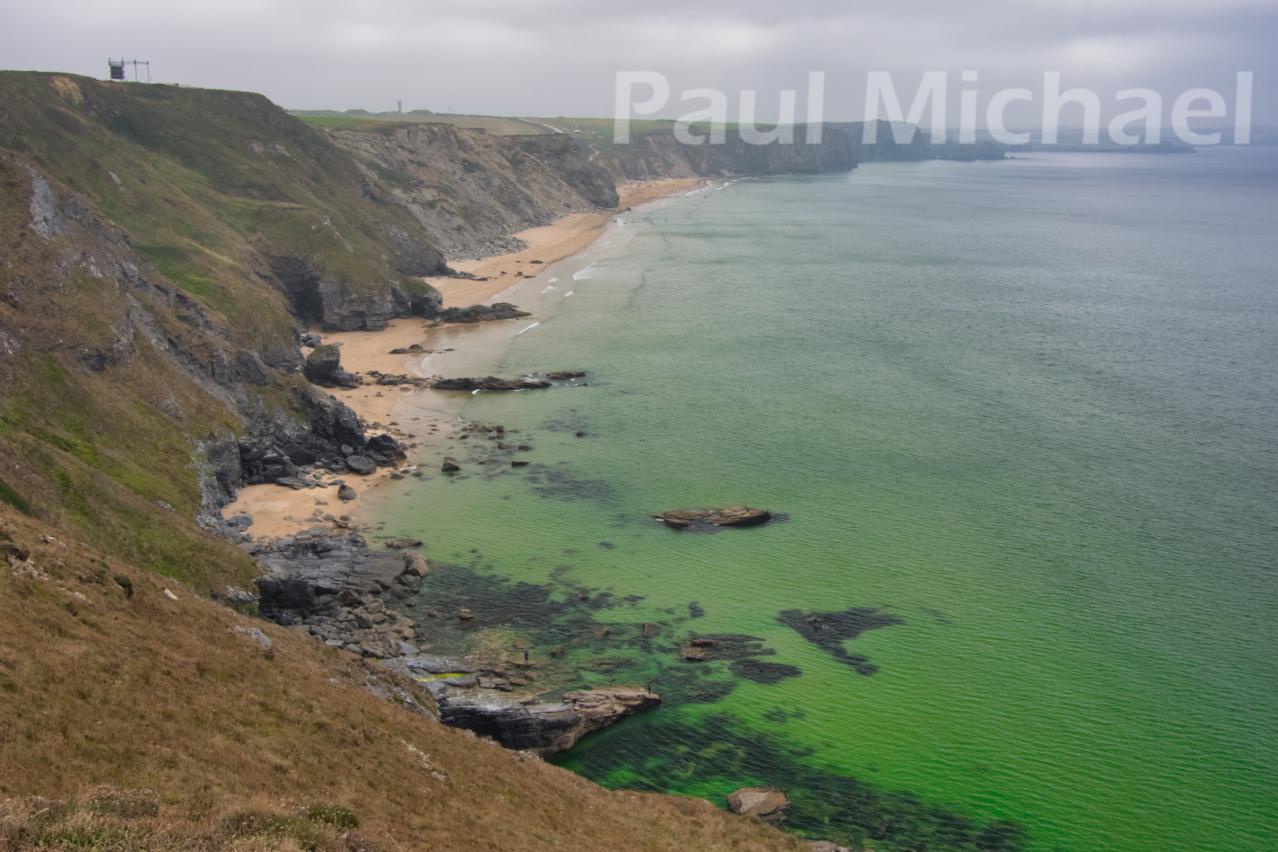
Walking further south, the path comes upon Watergate Bay. The beach is known as Watergate Beach or Tregurrian. The coast path is now very high above sea level with shear cliffs.
An aircraft passed fairly low overhead as I walked along. I realised that this is close to Newquay Airport. I’ve landed here a few times on what used to be the route from Glasgow to Plymouth, via Newquay. I was aware that the land rose up from the sea very quickly when approaching from the east. Like a high-up plateau. Standing at the cliff edge, I saw from ground level just how high up the cliff edge is from the sea. Approximately 80 metres on the OS map. The airport is just 90 metres.
Further along, the path passes by Wavelength, a drive-in cinema. The screen can be seen in the photo below. Not a bad spot to watch a film. After this point, the coast path gently slopes down to the Watergate Bay Hotel and resort. It’s yet another wonderful holiday location. Take a look to see more holiday properties in the Watergate Bay area.
Watergate Bay to Carnewas and Bedruthan
At the Watergate Bay resort, the route is inland to swing around to the north and up Trevarrian Hill to Trevarrian Village. There are a few tracks linking the coast path and the Hill along the way, which could be used to shorten the overall route if required. Continue north to arrive back at Mawgan Porth. It must be ice cream time by now. It was for me.
Just up the road, take the path through Trenance, which comes out by the Bedruthan Hotel & Spa and back onto the coast road. Head north for just under a mile to arrive back at the National Trust Carnewas car park.
I arrived a bit late and missed out on a cuppa at the tea room to end the day. It didn’t matter, I had a camera full of great shots and a head full of memories of an amazing walk.
If you are new to walking and would like to get into it, read my article, A Beginner’s Guide to Hiking and Walks. As explained in the sections above, this route can be taken in three separate loops. I would suggest trying just one to start out and give it a go.
Thank you for reading this article, I hope it has inspired you to visit this area. Comment below with your thoughts and experiences.


