Last Updated on 19th October 2023
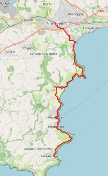
I did a lovely walk from St Austell to Fowey, which inspired me to plan a walk in the opposite direction along the coast path. I was able to get a mainline train to St Austell. From there, I walked to Pentewan, along the South West Coast Path (SWCP) to Mevagissey, and on to Gorran Haven. I then hopped on a bus back to St Austell to catch the train back home. What an outing!
The walk is approximately 12 miles, but it can be reduced to around 6.5 miles to Pentewan or 8.5 miles to Mevagissey. There is a bus back to St Austell from each of these locations.
You can download this map or view it on the Ordnance Survey site. Also, you can download a GPX file for this walk. Read my article, Top Tips: Mapping & GPS for Hiking.
If you are new to longer-distance walking, read my article, A Beginner’s Guide to Hiking and Long Walks.
St Austell to Porthpean
St Austell was a village centred around the parish church until the arrival of significant tin mining in the 18th century turned it into a town. It gets its name from the 6th century Cornish saint, St Austol, a disciple of St Mewan.
The discovery and mining of china clay in the 18th century transformed St Austell. The china clay industry remains one of the town’s main economic drivers.
St Austell is also home to the St Austell Brewery, one of the largest breweries in the UK. The brewery was founded in 1851, and it now produces a wide range of beers, including Tribute and Proper Job. There is a visitor centre which is well worth dropping in and, if there is time, taking a tour of the brewery.
In addition to its industrial heritage, St Austell is also a popular tourist destination. The town is surrounded by beautiful countryside, and it has a number of beaches, including those I mention in this guide. There are also many beautiful towns and villages to stay and visit for a great holiday.
Take a look at these fabulous hotels, guest houses and holiday properties in the St Austell area.
As a major Cornish town, it can get quite busy at any time of the year, but more so in the summer with the influx of tourists all over this area.
Where to start
Arriving by train, I started at the station. You can drive and park at St Austell. There are car parks, but I would look to the route I describe below with the aid of a map and try and park on a street in or around the housing estates. There are plenty of places without upsetting the residents – it’s not that restricted.
If you are on holiday in the area, look to the buses. Also, for the lift back from Gorran Haven. The services look pretty good in this area. Here are Cornwall’s bus services and timetables. At the time of writing, the 23 service covers the route from Gorran Haven and Mevagissey to St Austell.
There are toilet facilities at the station, along with plenty of shops nearby to get provisions for the walk ahead. Alternatively, there are outlets along the way if you prefer to walk with a light load.
Can you walk to the beach from St Austell? Yes, you sure can…
From the station or the centre of the town, walk through the housing estates to get to the A390. I took the streets heading SE past the cemetery, but there are more direct southerly streets.
Near the Superstore, there is a southerly public footpath that is routed alongside a large housing estate. This is popular with dog walkers and runners. The path has a long line of trees on either side, which makes it quite dim on less sunny days.
The footpath ends on a road. Turn left for just 100 metres and then the next right on a southerly road. At the next crossroads, turn left and walk easterly for about 400m. The road bends around to the right, but continue walking along a short narrow path that emerges onto the SWCP at Porth Pean.
Porthpean
Porthpean or Porth Pean, which can be spelt either way, comprises two hamlets, Higher and Lower Porthpean. The beach is the main attraction. It is a small, sandy cove with clear water. The beach is backed by steep cliffs and is popular with families and paddleboard enthusiasts.
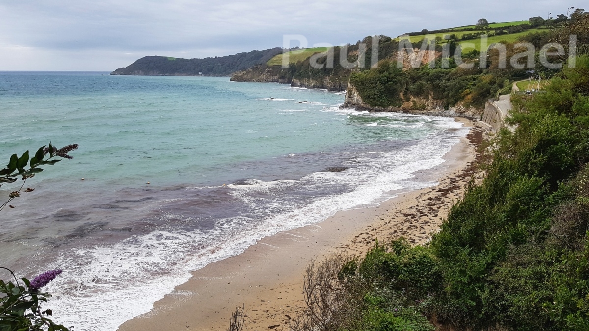
There are toilet facilities, although these may be closed over winter. There is also a car park, but it can get busy in the summer months.
Porthpean to Pentewan
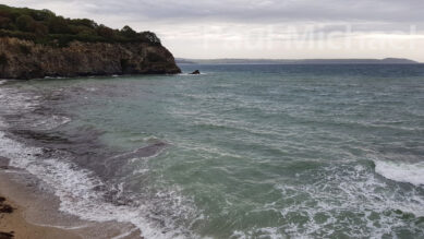
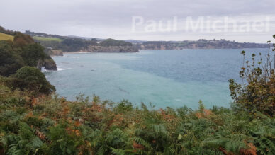
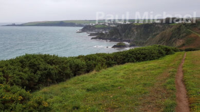
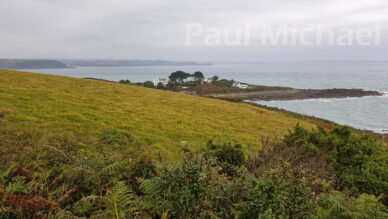
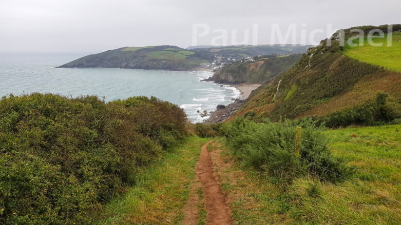
From Porthpean, follow the SWCP in a southerly direction. It starts fairly high up along the coastal cliffs and the views are magnificent. The colours of the water change with the weather, from shades of green to turquoise.
There is an outstretching rock known as Robin’s Rock just out of Porthpean. A little further south, at the next rocky outcrop, is Phoebe’s Point. Look up to the right from here to the site of Castle Gotha at the top of the hill. There is nothing to see nowadays, but it once stood as an iron-age oval-shaped castle.
As the path continues south, it veers away from the coastal cliffs to reveal an area of ferns, shrubs and trees known as the Ropehaven Nature Reserve. The path takes a SE direction until it rounds Gerran’s Point and heads south for a short distance to Black Head.
Black Head
At Black Head there was once a fortress at the end of the headland. You can walk some or all of the headland but, alas, there is no fort to see today. Just wonderful views toward Pentewan and beyond.
Here are some wonderful ariel views of the headland – Airchaeology – Black Head.
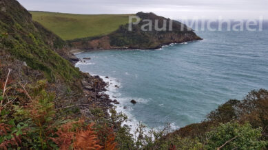
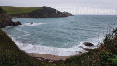
From here, the coast path takes a SW direction along the top of the cliffs with the headland Dennick to the south. It then goes down near some rugged coastal coves. The going is pretty arduous along this stretch with lots of ups and downs, including the obligatory stairways. I’ve taken to using walking poles nowadays and find them very useful for steep inclines and stairways, both up and down.
Pentewan
After Polrudden Cove, the path ascends once more and turns the headland at Point of Well to decent into Pentewan. You see the golden sands and the caravans of Pentewan Sands holiday park.
Pentewan dates back to the 11th century and maybe further. The name could be derived from the Cornish word “bentewyn”, meaning “foot of the radiant stream or river”.
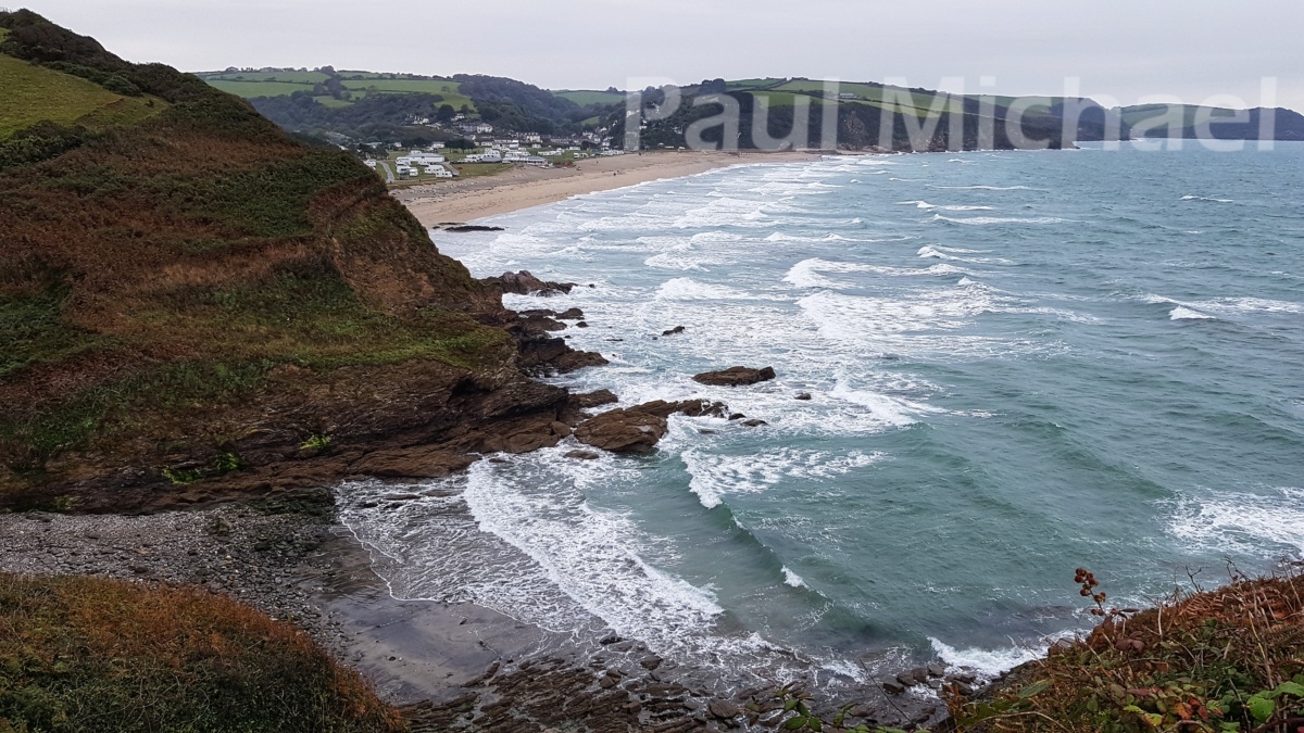
Located at the mouth of the St Austell River, the village was originally a fishing port. It also became a centre for the quarrying and shipping of Elvan granite. In the 19th century, Pentewan became a major china clay exporter.
There are facilities and many eateries in Pentewan to stop for a well-earned break.
Pentewan to Mevagissey
If you can continue walking a couple more miles, you won’t be disappointed. There are a few more ups and downs, but coming into Mevagissey via the SWCP is wonderful.
From Pentewan Beach, the coast path heads SE to Penare Point. You see fabulous views back over to Pentewan.
Around Penare Point, the path takes a SW route. It passes by Polstreath, a sandy cove along the cliff.
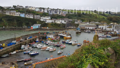
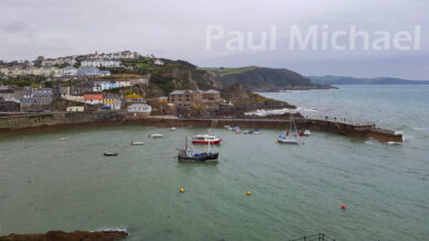
The coast path merges with a made-up lane and heads downhill into Mevagissey. As you descend you see the harbour walls and the array of buildings that line the diagonal streets – some going up and some going down. I love their pastel colours and architecture. Of course, there are the boats. Lots of them. In all shapes, sizes and colours. It’s such a picturesque harbour.
Mevagissey
The name, Mevagissey, is from the names of two Irish saints, St Meva and St Issey. The village dates back to before the 14th century as primarily a fishing port. It prospered during the 18th century with the abundance of pilchards. Today, still a fishing port, Mevagissey also prospers from tourists. As such a characteristic Cornish fishing port it draws in thousands of visitors throughout the year.
Again, there are facilities and places to get a bite to eat and drink.
Mevagissey to Gorran Haven
It’s the final stretch of the walk with about 4 miles to go.
Take the SWCP south and out of Mevagissey. Take a look over your shoulder as you go, there are more amazing views to be seen. Once you are over the other side of the harbour, the road goes down and then along Polkirt Beach. The road merges back into the coast path.
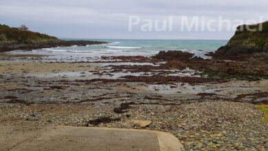
A little further on along the coast path are Portmellon and Portmellon Cove. The cove is a lovely little sandy beach with a slipway. If you are staying in the area, it looks like a great place for a beach day and a swim, but there are no lifeguards.
Onward along the coast path heading SE, it extends out to Turbot Point, passing Chapel Point. The area is known as Bodugan’s Leap. I love these names.
Carn Rocks
Around the headland, it’s SW along undulating rugged cliffs to Carn Rocks. Microliths of the Middle Stone Age have been found by Carn Rocks and nearby are Bronze Age tumuli. It is possible that a tall quartzite pillar at Carn Rocks may well have had a ritual purpose for early inhabitants.
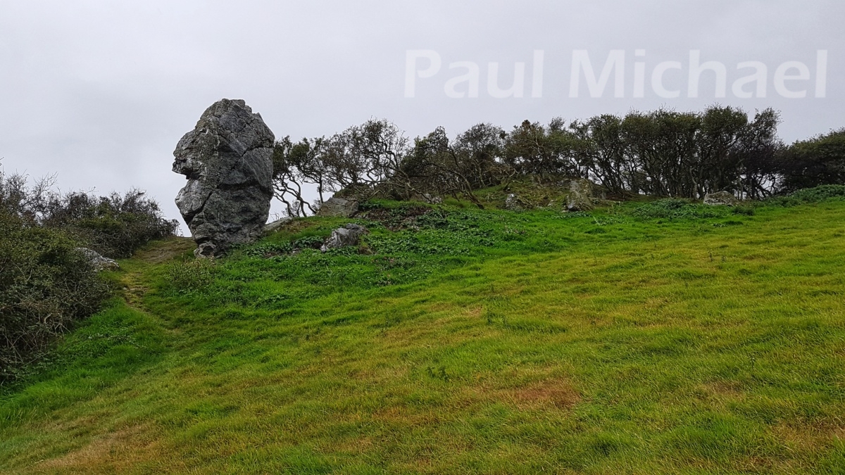
The coast path hugs the cliffs over Perhaver Beach and then turns south for a short distance to Perhaver Point. After this, the path turns SW and descends into Gorran Haven.
Gorran Haven
Due south of Mevagissey and St Austell, Gorran Haven dates back to the 15th century. This is when the first pier was built and the village became a port, handling merchandise brought from Fowey. In the 18th and 19th centuries, Gorran Haven was a thriving fishing village, and the pier was rebuilt in the 1820s and reconstructed as a harbour in 1888.
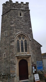
Today, Gorran Haven is a popular tourist destination, thanks to its beautiful beaches, sheltered harbour, and quaint shops and cafes. The village is also home to a number of historical buildings, including St Just Church, which was built in the 15th century, and Haven Church, which was built in the 19th century.
If you’re looking for a peaceful and relaxing place to visit in Cornwall, Gorran Haven is a great option.
There is a nice little store which doubles up as a bar. A great place to sample one of the delights of St Austell Brewery.
It’s time to get the bus. Head up the hill to the village car park. This is where the bus comes in. It’s a terminus, so there may be a short wait before it heads off to St Austell.
I hope you get to enjoy this walk. Thanks for reading.

